Every machine in our fleet runs high-precision GPS. Every project gets drone mapping. It's not optional — it's how we guarantee the grade accuracy and documentation that our clients expect.
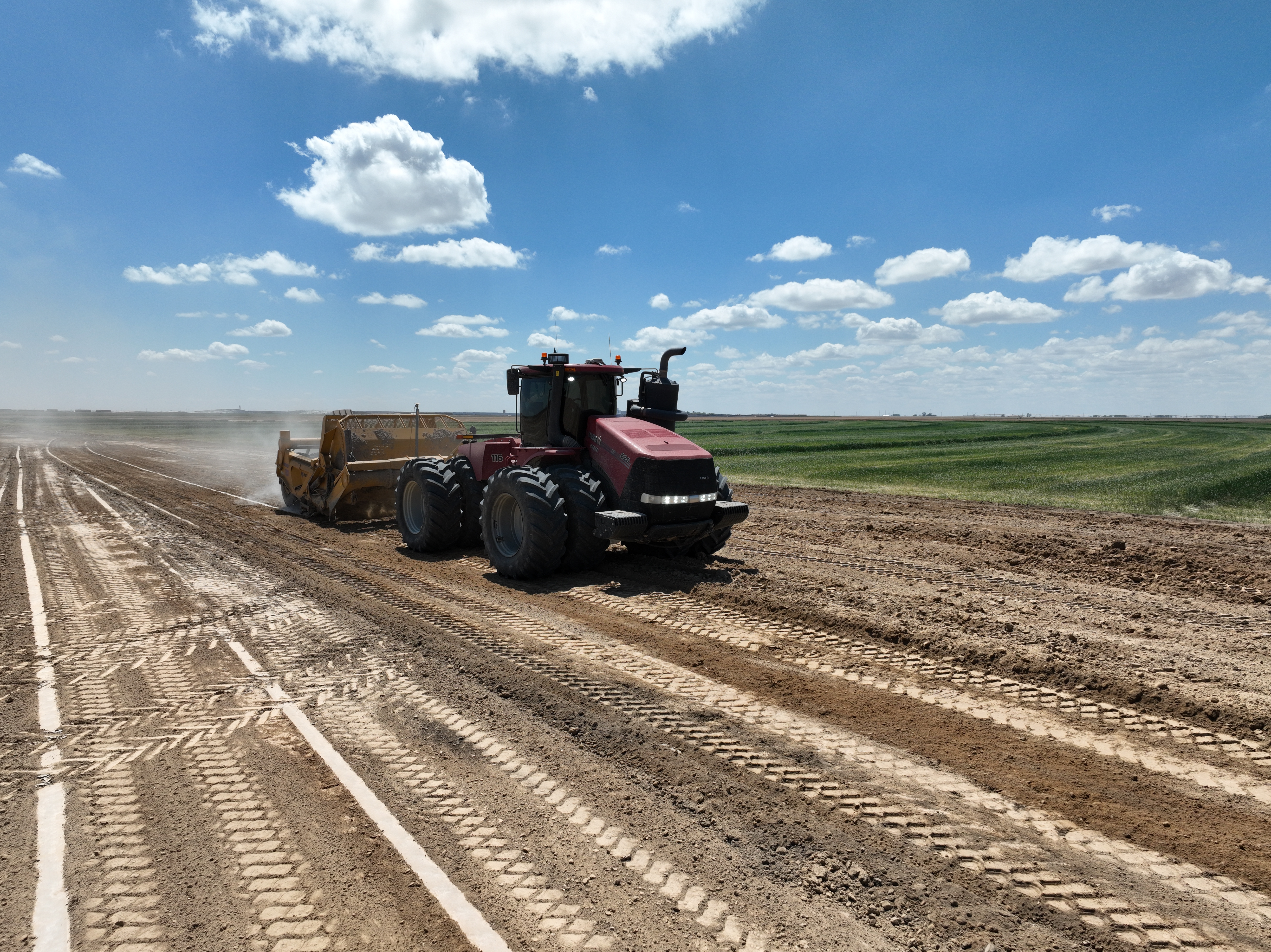
The workhorse of high-volume earthmoving. Our tractor-pulled scrapers are built for moving massive amounts of material efficiently across open sites — GPS-guided and operated by experienced hands who know how to get the most out of every pass.
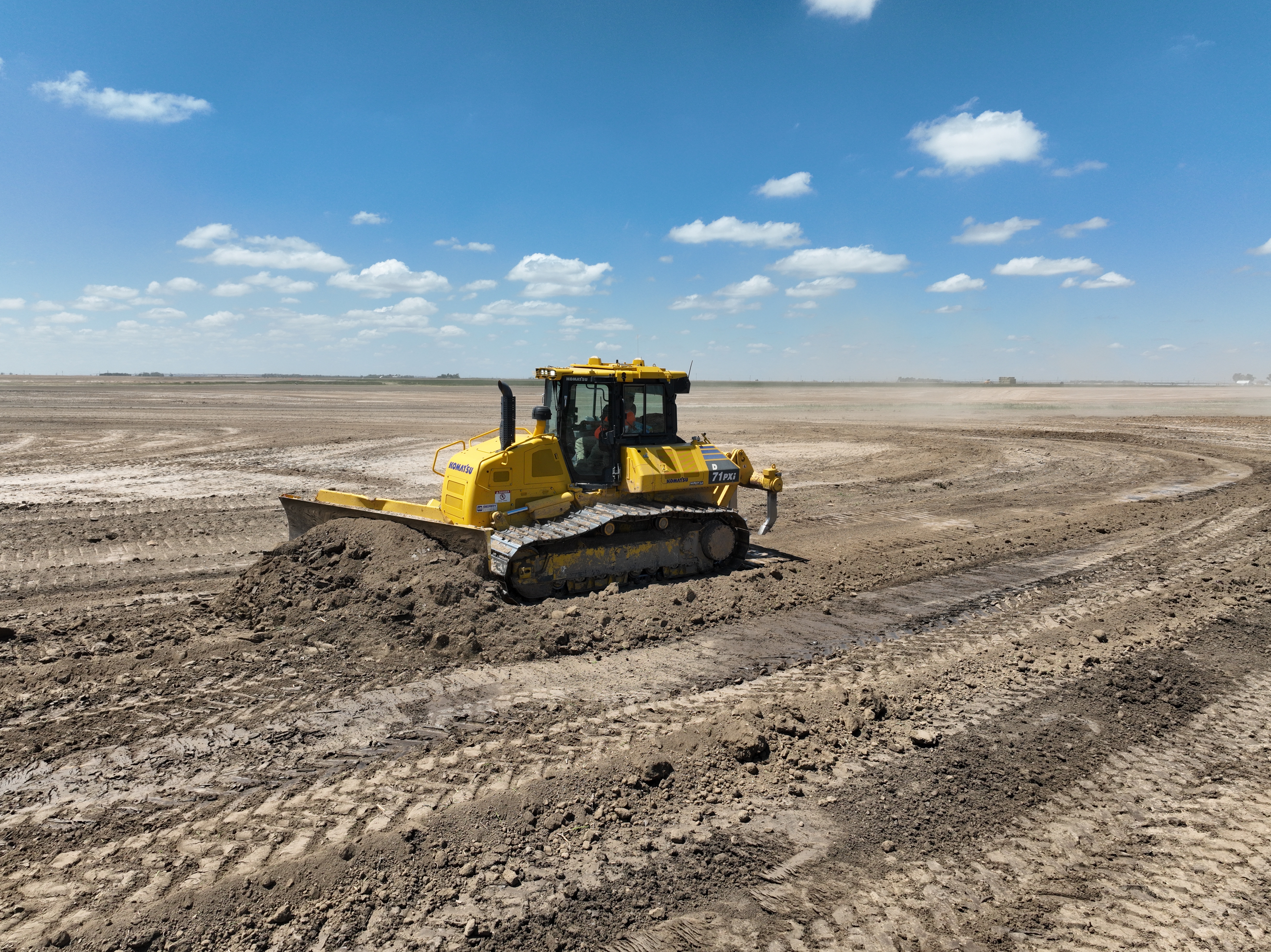
From clearing and stripping to bulk pushing and backfill, our dozers are GPS-equipped for precision on every blade-load. Decades of experience behind the stick means fewer passes, better results, and a finished grade that holds.
The finishing touch on every cut and fill. Our motor graders run centimeter-accurate GPS guidance to deliver the tight tolerances that drainage design and structural pads demand — no rework, no guessing.
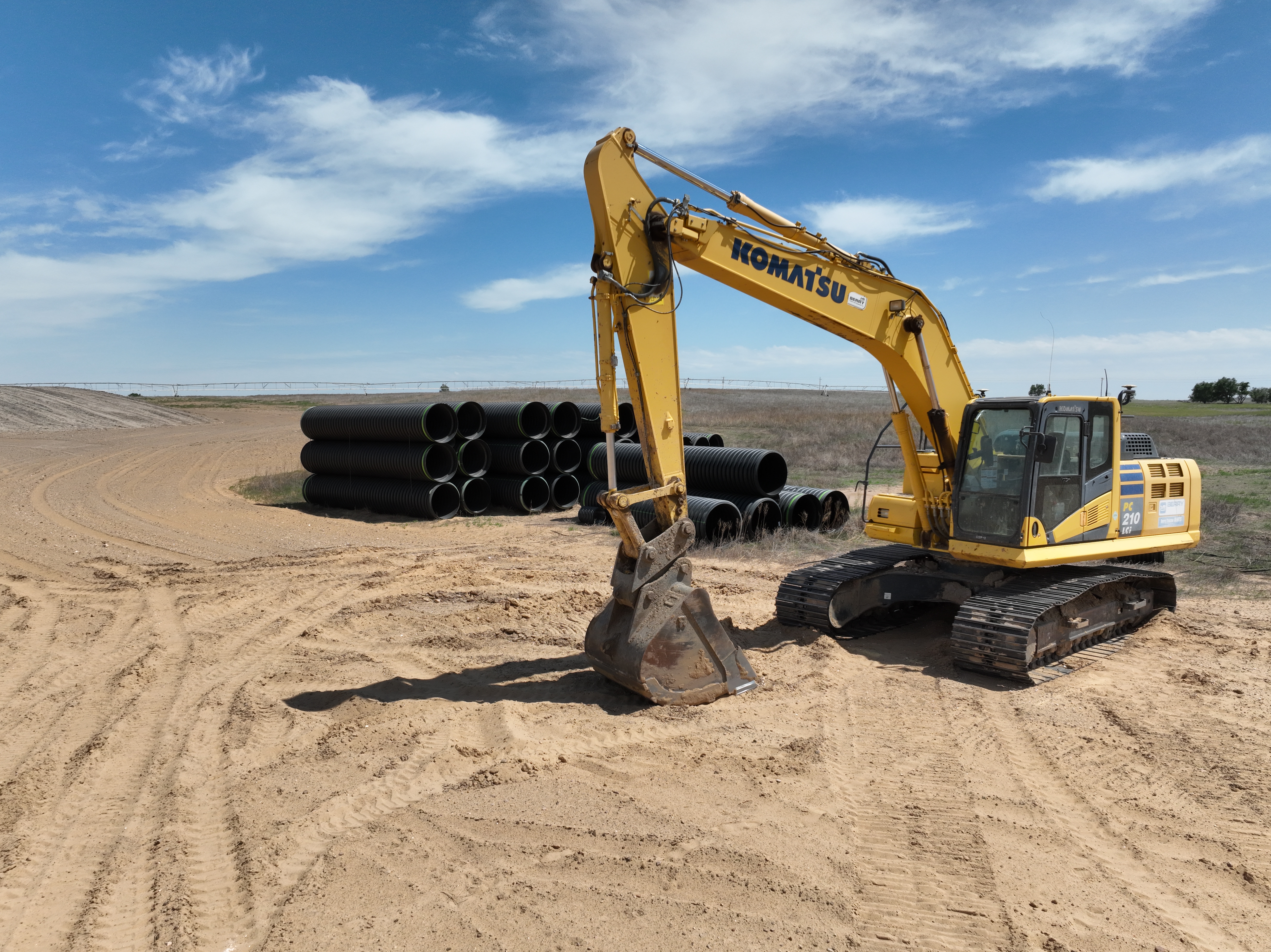
For pond construction, trenching, foundation prep, and precision excavation, our excavators bring the reach, power, and GPS accuracy every complex job demands.
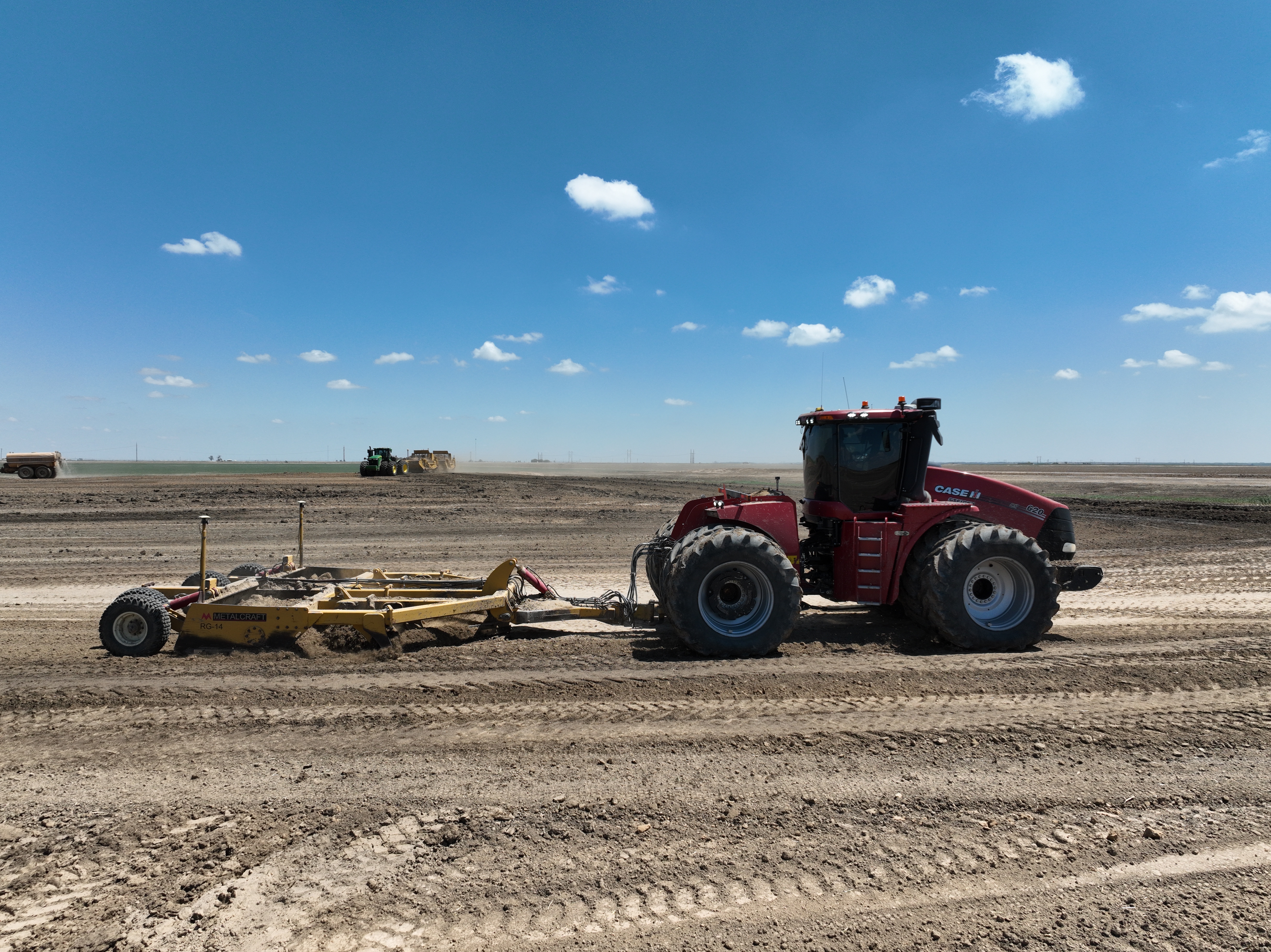
Compactors, rollers, water trucks, and support equipment — the full depth of machines that keeps a project moving from first cut to final walkthrough. Every lift compacted to spec, every phase covered.
We don't operate any equipment without GPS. Every grader, dozer, scraper, and excavator in our fleet is outfitted with high-precision grade control technology. That means the design file loaded into your machine is the grade you get — no interpretation, no approximation. The result is tighter tolerances, less rework, and a finished site that performs exactly as engineered.
From pre-construction survey to final walkthrough, our drone fleet documents every phase of your project. We use aerial mapping to verify grade accuracy, track progress in real time, identify issues before they become problems, and provide clients with a complete photographic and topographic record of their investment from start to finish.
Tell us about your project and we'll talk through what it takes to get it done right.
Get a Free Quote See Our Process